Whenever Dr Kalpita Bhar Paul visited the Sundarbans in the last two years and spoke to the islanders, she would get the sense that there were “too many tigers” in the region, with locals telling her that tiger attacks on humans were increasing. But, she brushed these anecdotes off in the belief that they were simply a case of several coinciding tiger attacks wherein the victim was in the wrong place at the wrong time. After all, the world’s largest mangrove ecosystem—home to the Royal Bengal Tiger—is also a global leader in recorded tiger attacks on humans. Spanning 10,000 sq km across Bangladesh and India, the Sundarbans present a perfect space for tigers to prowl, where they also come in contact with unsuspecting prey in the form of humans fishing or collecting honey and crabs from the delta, as the tides ebb and flow. It is estimated that on an average, 36 humans are killed by tigers in the Sundarbans per year.
“The perception of an increasing number of tigers [in the Sunderbans] that were leading to more tiger-human conflict seemed strange because in other parts of the country we see an emphasis on protecting tigers to address their low populations,” says Dr Paul, an assistant professor at KREA University, who has worked in India’s Sundarbans for over a decade. But in February this year, West Bengal’s Forest Department validated these apprehensions. They entrusted the Wildlife Institute of India (WII) with the task of looking into the causes of the surge in human-wildlife conflict in the Sundarbans, because it seemed like more tigers were roaming out from the forests into the settlement areas.

An easy logical explanation, like what the islanders told Paul, could be this—more tigers are causing more attacks. From an estimated 70 in 2010, the Royal Bengal tiger’s population went up to 76 in 2014, and 88 in 2018. In light of this ongoing discussion between the forest department and WII, recent newspaper reports have suggested that the density of tigers here—which ranges between 1 to 4.79 tigers per 100 square kilometres—might be inching close to the carrying capacity of Sunderbans, thereby leading to increased conflicts. Carrying capacity is the maximum population of a species that a specific environment can sustain.
But, a deeper dive into this landscape and human-tiger interaction suggests that more factors might be at play, ranging from socio-economic and environmental changes in the mangrove forests to those human beings who depend on it for survival.
Is Optimum Carrying Capacity the Culprit?
“That an environment may reach carrying capacity is not a problem,” says Dr Manjari Roy, a project scientist with WII. “It means that the population is healthy and the forest is operating at its optimum level given the limited resources. It reflects that the environment—in this case, the Sundarbans forest—has been managed and protected well.” This goes against the tide of newspaper reports that suggest that WII is anxious about Sunderbans accommodating tigers to its maximum limit. Dr Yadvendradev Jhala, conservation scientist and dean of WII also conforms.
All such reports of tigers [population] beyond the capacity of Sunderbans are only speculative at this moment, it is not a matter of concern just now. While their population has increased over the years, their density has remained similar—the tigers now are occupying territories that they did not earlier. In all, the density has been similar over the years.
—Dr Yadvendradev Jhala, Dean of the Wildlife Institute of India
“The problem would only arise if the population of tigers goes beyond the carrying capacity, and currently, we do not have data and research to positively suggest the timeline for that to happen,” adds Dr Roy. She mentions what might be a concern for Sundarbans. “In this region, there are no other forests close by where the tiger population can spill into when it increases. In central India, for instance, forests are connected through wildlife corridors, which provide this important function.”
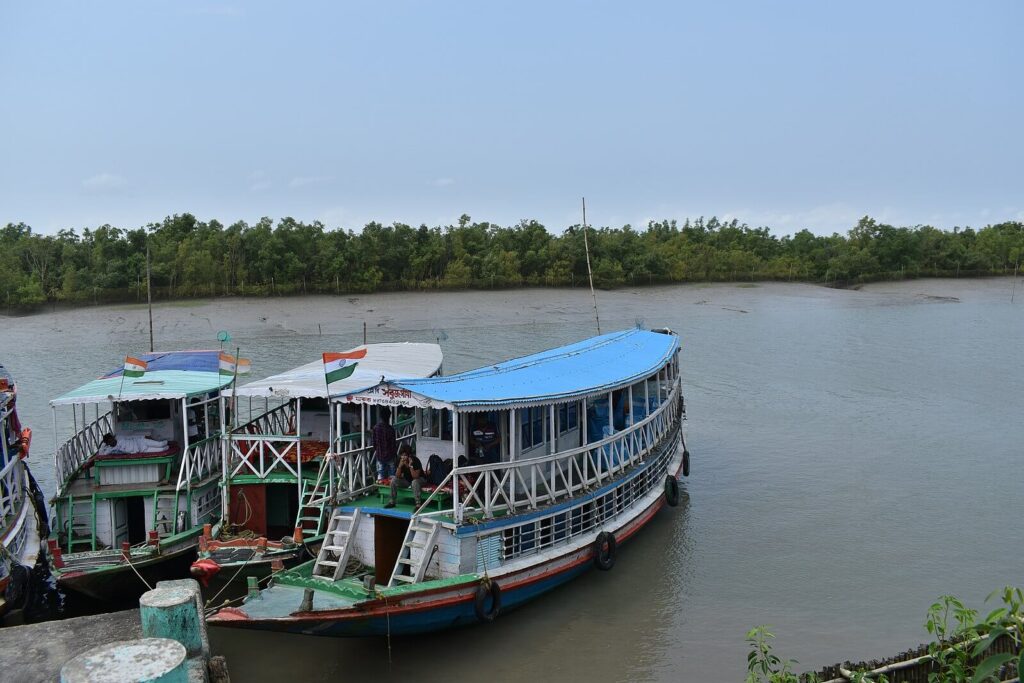
Even movement corridors between islands of Sunderbans have narrowed for the tigers, with increasing traffic from commercial boats. Every day, over 200 vessels ply across the multiple water channels of the mangrove, which is set to worsen with the proposed 1320 MW coal-based thermal power plant in Rampal, about 14 kilometres north of the Sundarbans.

“With no other corridors and forests, this protected area acts as an island. That may be one reason for the increase in tiger-human conflicts lately, but it is still speculative to say so until we have complete data and analyse it,” Dr Roy says. “The only other forests for the tigers are the Sundarbans of Bangladesh. However, the protection regime is different from the Indian side. This calls for a need for trans-border conservation between the two countries so that the tigers have a safe space to go to if the Indian side gets close to the carrying capacity.”
The conservation approach adopted by India in the Sundarbans has further created “islands of conservation”—short-lived success, inadequate to meet ecological imperatives. The Sunderbans were declared a tiger reserve in 1973, a sanctuary in 1977, and a National Park in 1984. Soon after its declaration as a reserve, it also became one of nine reserves in India to be a part of the central scheme Project Tiger. In the Sunderbans, this project created about 1700 sq km of “core” areas, or areas for tigers to breed and live undisturbed in, and an 885 sq. km ‘buffer zone’ where limited human activity was permitted. But, a 2005 report by the Tiger Task Force reiterated the need to look beyond a centralised focus on the tiger and suggested a ‘landscape’ approach; since the tiger’s habitat is contiguous to other spaces beyond core areas, the cooperation of the people that live in buffer areas was also needed to conserve the larger landscape.
On the contrary, “hundreds of people” were relocated from the core Sundarban forests for the implementation of Project Tiger, and were not considered an important stakeholder in tiger conservation.
“Portraying the tigers as victims that need to be protected from the islanders alienated the two, suggesting that only one of the two entities can live peacefully,” says Dr Kalpita Paul. Her observation of this conservation model is evident in how communities in the mangrove forests navigate and depend upon this unique landscape, which makes them more vulnerable to tiger attacks.
The Core and Buffer of the Sundarbans, Where Tigers and Livelihoods Coexist
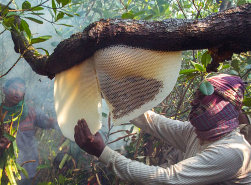
With numerous streams flowing into the Bay of Bengal, the Brahmaputra-Meghna-Ganga delta forms large shores perfect for fishing and catching crabs, while some mangrove species like Avicennia-Sonneratia and Phoenix are conducive for collecting honey. Since these species of mangrove stand on relatively higher ground in a landscape that is otherwise ever-changing with tidal flooding, they are also preferred shelters for tigers to rest and rear cubs.
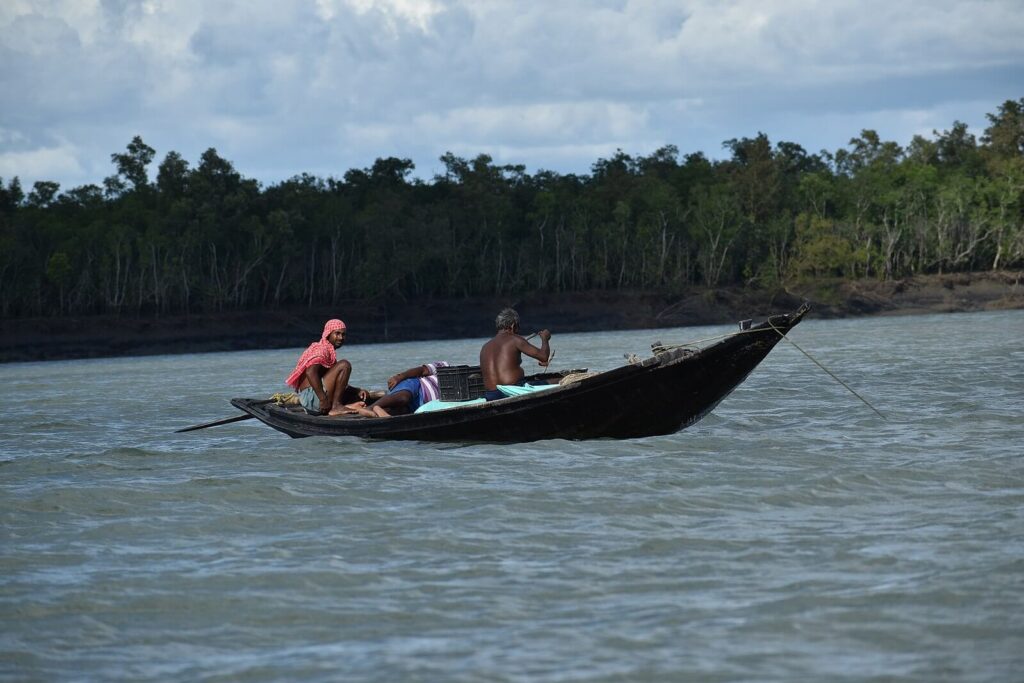
In fact, a 2016 study by Roy, Jhala and other scientists showed that tigers spent over 58% of their time in landscapes dominated by these two mangrove species, followed by barren areas, and then water. The chances of tiger attacks in these areas then, are much higher; analysis of attacks between 1999 and 2014 shows that 63% of victims were fishermen, 17% crab collectors, 13% honey collectors, 5% woodcutters and less than 1% were from forest department staff.

Since the Sundarbans is a protected area, communities are allowed to access only the buffer areas for forest-based livelihoods, not the core areas. But, the COVID-19 pandemic and disruptions of other livelihood options led to desperate re-entering in forests, often illegally, to the core areas. As other avenues of income dwindled between 2020 and 2022, over 30 people were reportedly attacked, most of whom were in core areas.
The youth and migrants have lost touch with a portfolio of skills required to survive in this waterscape which is usually transferred from generation to generation. This includes skills of how to navigate in a forest, the sounds one should look out for as cues, how to be more observant of one’s surroundings. But with populations migrating from the islands, these skills slowly wane away. So, when they desperately re-entered their traditional livelihoods after losing others, it made them much more vulnerable, almost life-threatening.
—Dr Kalpita Paul
The demarcation of core and buffer zones further acts as fault lines by making it difficult to access something that could have eased the lives of tiger victims’ families after the attack: compensation.
Attacked Families Struggle with Compensation
The West Bengal government sets aside a compensation of ₹1 to ₹2 lakh for every family where a member was attacked by a tiger. But in 2016, the state government revealed an appalling statistic—of 100 fishermen killed due to tiger attacks in the past six years, only five families sought compensation, of which only three received it.
So, why did only a handful of families apply for compensation? The answer lies in a system of boat licensing that dates back to the colonial administration. The earliest traceable record of such boat licence certificates (BLC) is from 1923, when the British government gave a “certificate of registration and measurement of boats” to those transporting timber from the Sunderbans. Over the years, the licence became synonymous with permits for fishing and catching crabs. However, for almost a century, the government has not reviewed these licences.
As a result, today, there exist only 924 licences for nearly 14000 fishers in the Sundarbans. This has created a market wherein fishers rent the licences from BLC owners at an exorbitant ₹35,000 to ₹50,000 per fishing season. Those who cannot afford these prices often wade into the buffer and core zones without licences, and if an attack occurs then, they choose not to register it, since doing so would give away the fact that they were fishing illegally.

“On land, it is easier to demarcate where the buffer zone differs from the core. But how does one do it on water, in a landscape like the Sundarbans? Many attacks that happen on fishing boats become difficult to clearly state if those were in the buffer or the core areas,” adds Paul.
This creates an undesired combination—only those families get compensated for attacks who hold a permit, and were attacked while in the buffer zone of the mangroves. Those without permits and killed anywhere else in the Sundarbans fall through the cracks of official attack counts and compensation.
Tiger widows—a term used to refer to women who have lost their husbands to tiger attacks—have also been emphasising the need to ensure compensation to them. Apart from economic insecurity, tiger widows also undergo other problems. A 2016 study of 65 tiger widows showed that 44% of these women suffered from depressive disorders, post-traumatic stress disorder, and generalised anxiety disorder along with the social stigma and discrimination of being a “cursed” family.
While the WII embarks on a journey to assess the causes of increasing human-tiger conflicts in the Sundarbans, the social aspects of local communities’ interaction with the mangrove forests also needs revisiting, to paint a complete picture. In the process, emphasis should be placed on two major challenges that exacerbate the tiger attacks and are staring the mangrove delta in the face. The first challenge is that of a changing climate, with rising sea levels and increased salinity pushing the tigers out of their initial homes. The second, and arguably more complex challenge, lies in the aftermath of the pandemic which brought people back to forest livelihoods, sans the forest skills their older generations had developed.
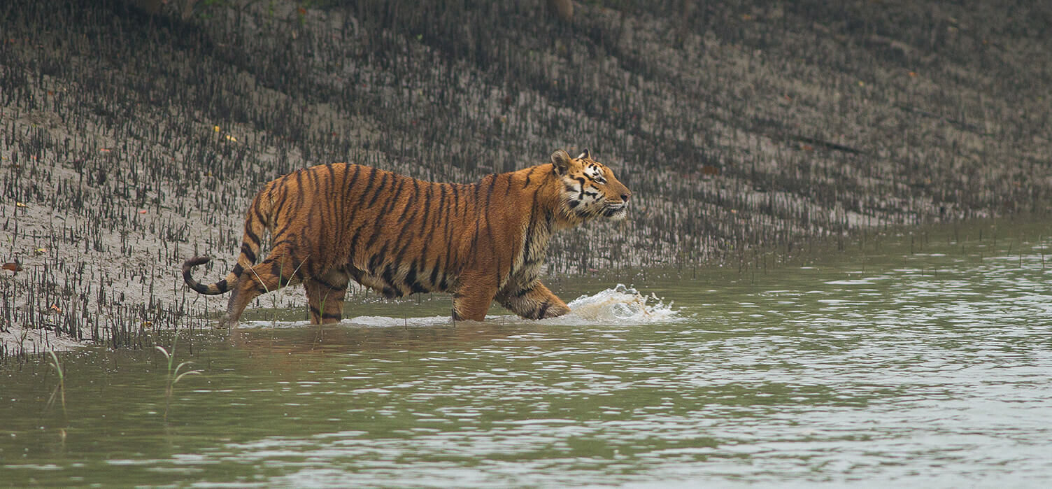
Representational featured image of a tiger wading through the shallow canals in the Sundarban Tiger Reserve, West Bengal by Soumyajit Nandy/Wikimedia Commons


